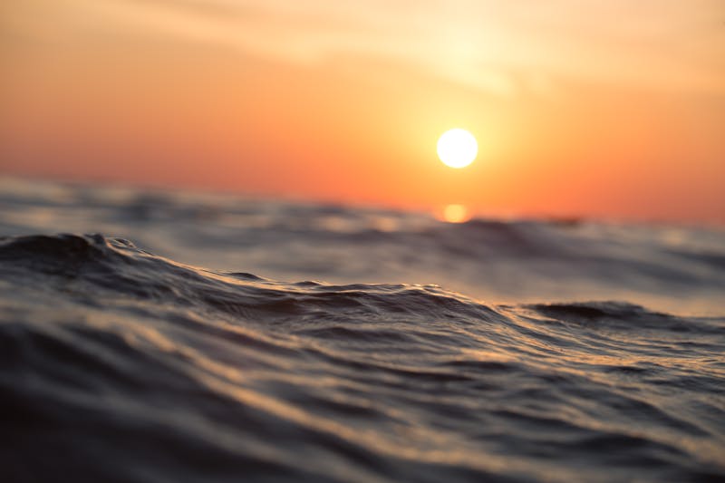
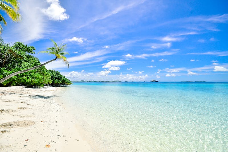
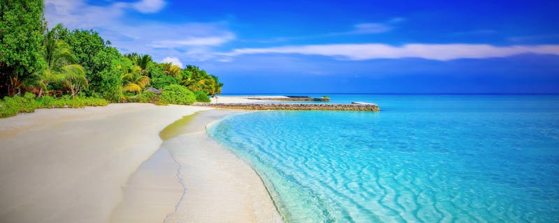
Geographic Observations Gallery
Explore coastal variations and tidal phenomena through our visual documentation. Each image captures a moment in the dynamics of marine ecosystems.
High Tides
Danube Delta
Significant variation in water level between high and low tide, observed in the delta area.
Coastal Erosion
Cape Midia
Documenting the process of cliff erosion under the continuous action of waves.
Low Tides
Mamaia
Wide intertidal zone exposed during low tide, ideal for geographic study.
Ecosystems
Natural Reserve
Adaptation of flora and fauna to regular cycles of humidity and salinity.

Data Analysis
Measurements and Charts
Visualization of collected data for understanding tidal variation patterns.

Monitoring
Geographic Instrumentation
Technology used for the continuous observation and recording of parameters.
For detailed information on methodology or collaborations, visit the contact page.